10/04/17: Day 5: Page/Wahweap to Kanab via the Vermillion Cliffs
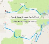
We being day 5 in Wahweap, AZ at the Lake Powell Marina. One of our original goals for this trip was to get to Paria (near the bend at the top of the map). Our daily goal is to spend the night in Kanab, UT. But we decide to take a scenic older road known as the Vermillion Cliffs Highway that happens to go past the entrance to the North Rim of the Grand Canyon, and do Paria (aka Pahreah) the next day.
--Click to Enlarge--
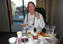
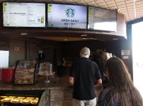
This most expensive of rooms at the Lake Powell Resort and Marina does not provide a free breakfast. Their breakfast buffet costs more than we'd paid for our filet mignon dinner with drinks a few nights ago. But it does have a coffee stand in the lobby. So we were good to go.
--Click to Enlarge--
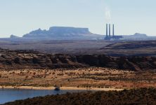
I'd noticed this coal burning power station (from many miles away) as we approached last night. This morning, it puzzles me that there is this newish power plant next to a huge hydroelectric dam. I'm sure there are political. reasons for it.
--Click to Enlarge--
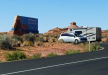
The resort is actually in Wahweap, not in Page, AZ. As we headed out, there was a mobile border patrol checkpoint funneling all incoming cars into the scenic overlook for inspection.
--Click to Enlarge--
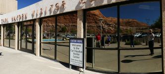
A selfie at the Carl Hayden (never heard of him) Visitor Center at Glen Canyon Dam. He was the first seven term Senator, and responsible fo getting this dam built despite the protests of environmentalists and the indigenous peoples who were flooded out in 1980. Yeah, a new damn.
--Click to Enlarge--
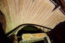
Had I known about this shadow, I might have tried to get up here earlier to take a time lapse of the bridge shadow sweeping down the dam.
--Click to Enlarge--
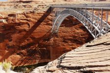
It's a nice bridge that casts sharp shadows on the steep cliffs.
--Click to Enlarge--
From some of the scenic overlooks, one can easily imagine how the area looked without the dam.
--Click to Enlarge--
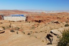
Some of the scenic overlooks were quite crowded. Busloads of Asian and European tourists prove that October is still prime season. If the hotel prices weren't enough of a clue.
--Click to Enlarge--
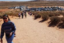
Karen. posing along the sandy path up a hill. Statistical clustering allowed me to take a picture of just her, as hundreds of tourists a minute passed, on average.
--Click to Enlarge--
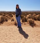
Finally pulled away from the dam crowds and heading south toward Bitter Springs
--Click to Enlarge--
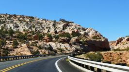
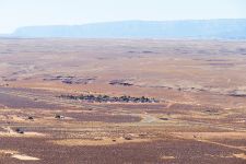
That, way down there, is the town of Bitter Springs (no services). We're heading down US-89 from a pass, and stopped at a scenic pullout. That's 89 looping to the left. our path will be that little road going off to the right, old 89 is now US-89a.
--Click to Enlarge--
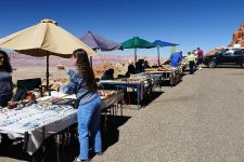
Local vendors set up shop in the scenic overlook by the pass.
--Click to Enlarge--
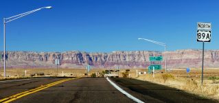
Made the right turn off of US-89 onto 89a
--Click to Enlarge--
Looking back up toward the pass (the notch near the left) and the scenic overlook
--Click to Enlarge--
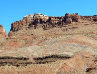
Zoomed in on the overlook
--Click to Enlarge--
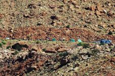
Guess why it's known as the Vermillioin Cliffs Highway
--Click to Enlarge--
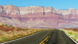
Heading north on US-89A to go around the Vermilion Cliffs and over Kaibab National Forest. Not quite up to 8,000 feet. Still, the air seems thin to me.
--Click to Enlarge--
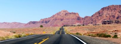
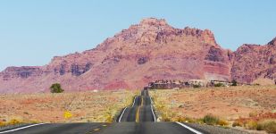
Foreshortening is a fun effect of a long lens. But at speed, some of these hills really were very roller-coastery.
--Click to Enlarge--
As a guy who appreciates architecture, I stop for bridges. Here on US-89a, the Navajo Bridge over the Colorado River was one of the few places to get across. The original highway bridge is maintained for pedestrians, and they built a new one parallel to it for cars.
--Click to Enlarge--
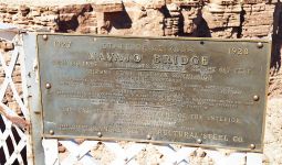
Shall we walk accoss the Colorado River?
--Click to Enlarge--
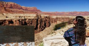
The original Navajo Bridge was designed to handle 1920's vehicles. The new one can handle today's heavy trucks. The difference is visible in the shadows on the Colorado River.
--Click to Enlarge--
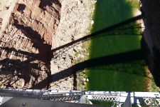
At about halfway across, I was panting. Karen, concerned, asked if I should head back. I suggested that I could make the second half about as easily as retreat. So she headed back and got the car and drove it to the other side (seen here) and...
--Click to Enlarge--
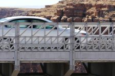
... and came to meet me from the other end. As Karen saw me pointing my long lens at her, she cheerfully surrendered.
--Click to Enlarge--
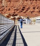
One last picture, showing the two Navajo Bridges.
--Click to Enlarge--

Because of the problem we'd had getting a room last night in Page, AZ ending up in Wahweap, we took no chances. Once we decided we were only going as far as Kanab, we pulled over once we got some cell signal. Karen called around and made a reservation. Some of the lower priced places in Kanab had already been over-nabbed. I just admired the scenery.
--Click to Enlarge--
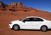
There were a few points of interest off of this old road. But most were in some disrepair. There was not enough signage left at this once elaborate pull off to let us know what it was there for.
--Click to Enlarge--
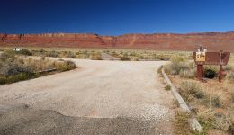
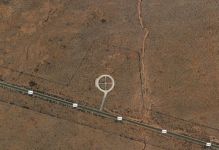
Satellite view of the San Bartolome historic marker site on US-89a
--Click to Enlarge--
Entering Kaibab National Forest
--Click to Enlarge--
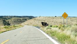
Still on the Vermillion Cliffs highway
--Click to Enlarge--
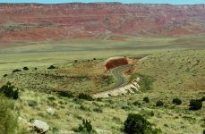
Some scenic pull outs are more elaborate than others.
--Click to Enlarge--
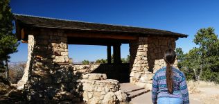
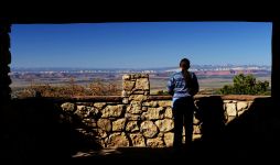
Picture perfect framing, through an architected scenic overlook
--Click to Enlarge--
Hail, Hail Fredonia ♬
--Click to Enlarge--
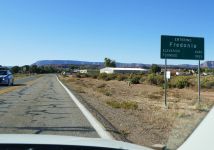
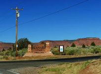
Welcome to Kanab, and not even 4:30, yet.
--Click to Enlarge--
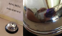
When was the last time you actually saw one of these?
--Click to Enlarge--
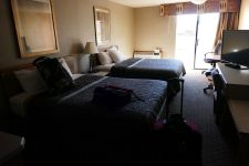
So we find a Days Inn in Kanab and ask for a ground floor room (so I don't have to haul luggage up stairs). We end up with one of the three, presumably prized, poolside rooms.
--Click to Enlarge--
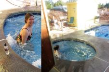
At first, Karen is not so sure about using the hot tub just outside our door. But after a gaggle of French women from the next room use it and then leave, she gamely settles in.
--Click to Enlarge--
Kanab is still expensive, but we save some money by having a nice, traditional road dinner of hard boiled eggs, smoked oysters, cauliflower and dip, pretzels, and other noshes.
--Click to Enlarge--
